

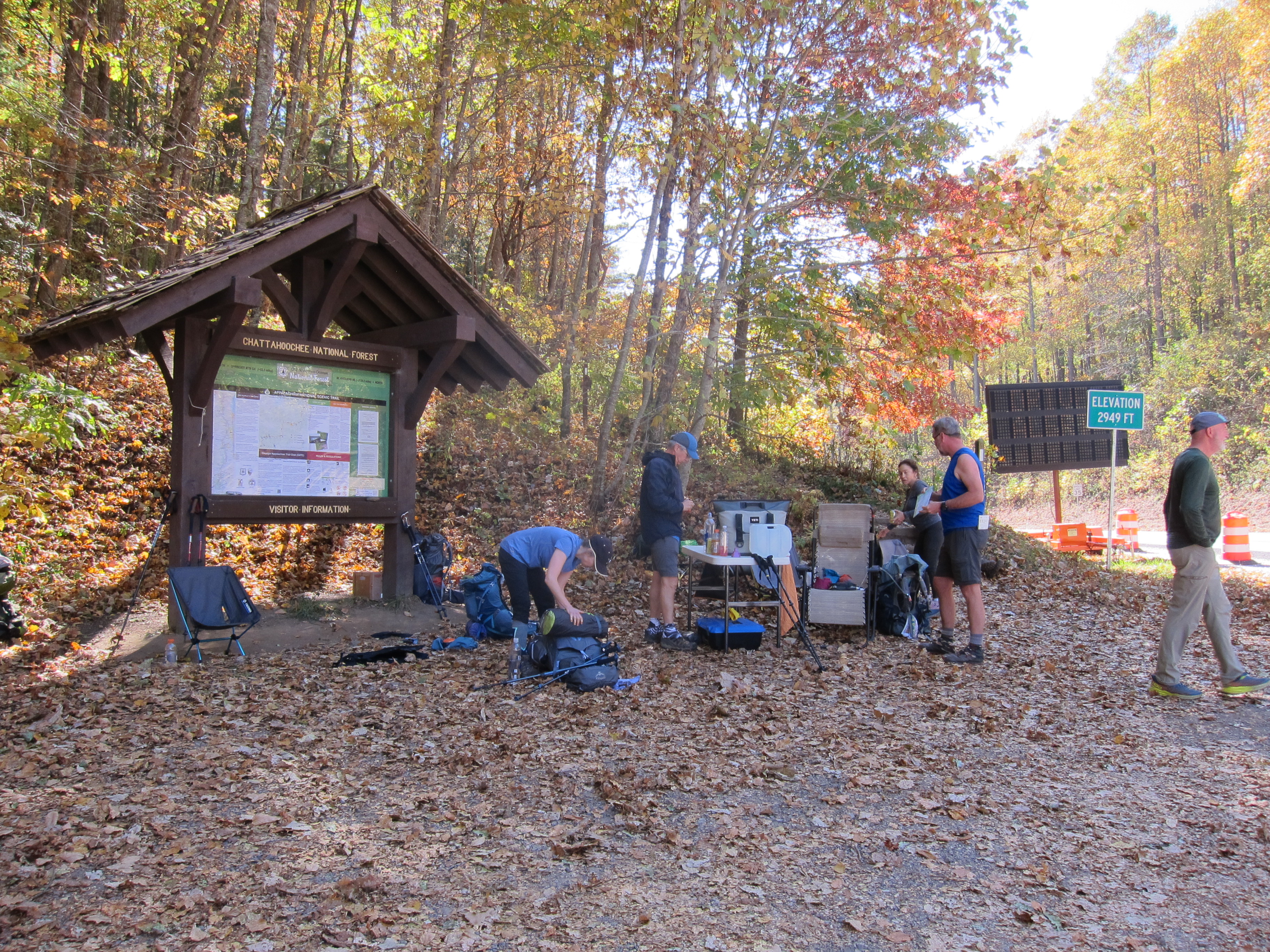
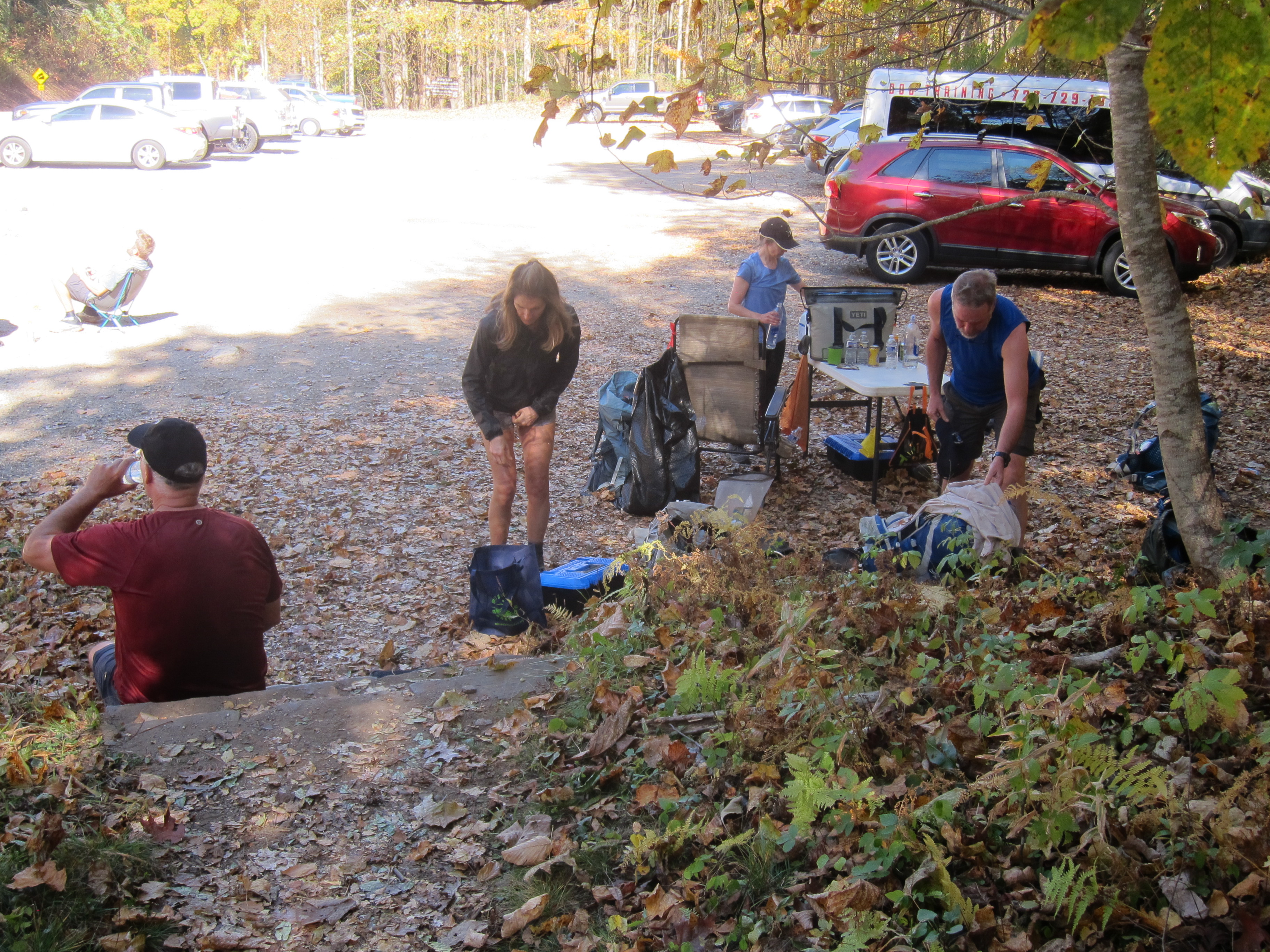
Part of the trail came down to the area on the same side as the parking lot, and then continued across the highway. Intersections such as this--where the trail intersects with a highway--are popular as MEET UP locations. A foot trail as long as the A.T. is going to have LOTS of "intersections" with state borders, various government agencies, volunteer organizations, etc.; I consider it a miracle that this trail, conceived in 1921, built by private citizens and completed in 1937, still exists today, in a society that has increasingly lost the desire to spend time outdoors!
And speaking of MEET UP locations, I was happy to MEET UP with other Road Scholar hikers on a Sunday afternoon, at the Hinton Center, in Hayesville, North Carolina (www.hintoncenter.org). It is worth noting that this facility is also open for lodging for individuals, and not just groups. I would highly recommend you consider it, if you are ever in the area! As we did every morning during the week, we met on the deck of the dining hall before sunrise on Monday morning, so that we could do stretching exercises, as we watched the sun come up over the lake:


At the time of this program, Road Scholar was requiring masks when we were indoors, riding in the vans, or in close contact with others.

This is a close-up of the map:

I will not give a detailed account of the Monday, Tuesday, Wednesday, and Thursday's hikes, but will state that we hiked a different part of the Appalachian Trail each day, and the following were "place names" listed for the week: Standing Indian basin, Rock Gap, Glassmine Gap, Long Branch Trail, Deep Gap, Standing Indian Summit, Glade Gap, Chunky Gal, Boteler Peak, Winding Stair Gap, Swinging Lick Gap, Panther Gap, Siler Bald, Wayah Crest, and Winding Stair. It is a very good thing that I was with a trained, and experienced hiking guide, because after the first "Gap" nomenclature, I was confused, even though I had seven more "Gaps" to navigate!
One of the mountains we summited I am able to remember because there was a marker at the top that showed its name and elevation. (the marker is next to my feet in this photo)


The following photos are just some interesting features of nature that we saw along the trail, that I want to remember, and so I am including them in this blog. After all, the name of this program was "NATURE HIKING", and our leader was Naturalist, Liz Domingue (www.JustGetOutdoors.com). My goal was to enjoy (and photograph!) some of the fascinating aspects of the natural world---not just race from "Point A to Point B"! The other hike leader was Linda Flynn, and both ladies were valuable sources of information about the outdoors. I used both a Canon pocket-size digital camera, and my iPhone. The nice thing about the iPhone, is that you can easily get that "fuzzy" look for a waterfall, without having to use a tripod (which is the way it was done in "days of old"!)


One of the interesting features Linda pointed out along the trail was the "Eiffel Tower Tree":


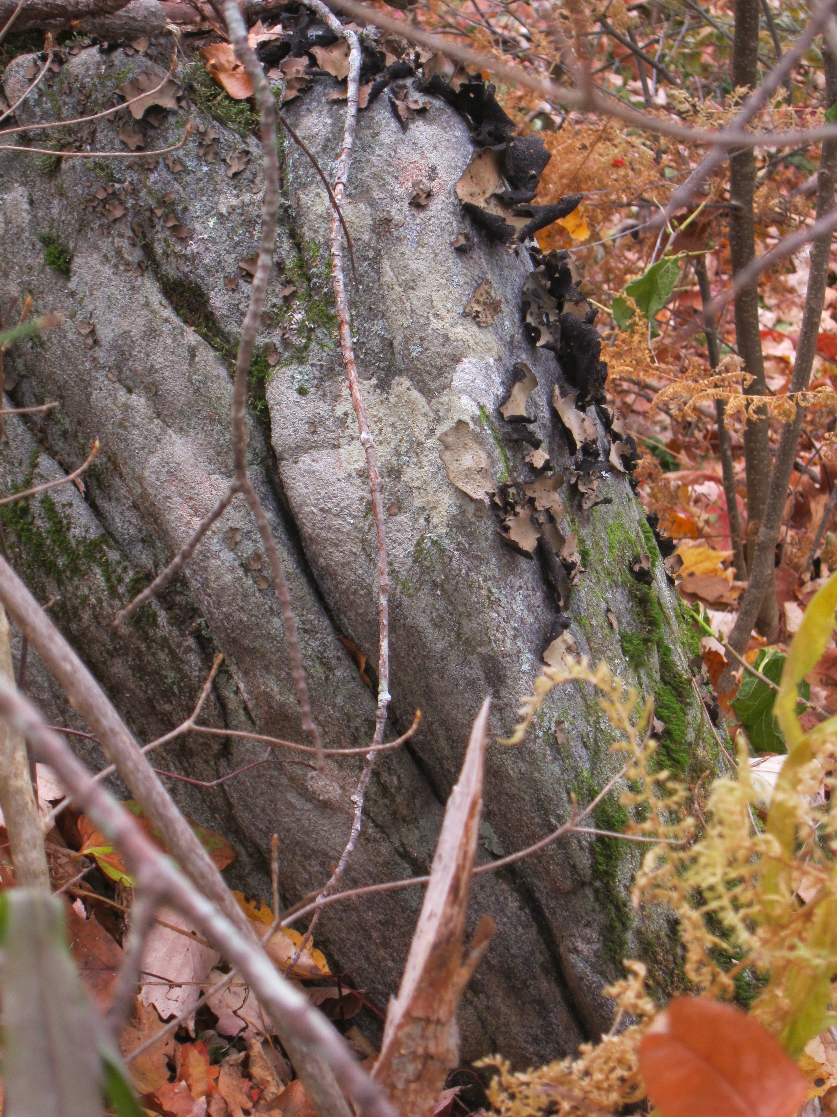
Our leader also pointed out this unusual "art work" of nature along the trail, that resemble hiking boots!


The group photo of all of us was taken by Bev Richardson, who along with her husband, Rod, had the role of "Host Couple" for our Road Scholar program. They are pictured below, with birthday cake, as we got to celebrate Rod's birthday during our week at the Hinton Center.
.jpg)
Appalachian Trail guidelines recommend no more than ten people to a group, so each day, we split into two groups of ten each. This photo shows one of the groups of ten, that I was with on the first day.

When you are hiking the Appalachian Trail, it is POSSIBLE that there will be a sign as you enter the trail. However, don't count on it!
 Some of the trails show a sign on a post at the trail head, with AT standing for Appalachian Trail, and N, standing for North. That is what I am pointing to, in the photo below:

 The shelter had an elevated area in the back, (presumably for placing a sleeping bag), a sitting bench, a counter-height bench, a roof, and a concrete floor.

For the most part, The A.T. trail is marked by white rectangular metal "blazes", nailed to a tree. The blue blazes could indicate a side trail to a shelter for overnight use:

I used my Fit Bit to record the steps I took each day, and every day was a new personal record for me! The most steps per day I ever logged was 28,143. I was feeling really proud of myself, UNTIL I came across this figure, as I was researching information for this blog: "It takes roughly 5 MILLION steps to hike the entire Appalachian Trail"!! Those numbers reminded me of the verse in the Psalms that talks about "steps". Psalm 37:23 says, "The LORD makes firm the steps of the one who delights in Him." I was delighted I was able to complete the number of A.T. steps that I did, even though they are a LOOOOOOOOONG way from five million! Making it to four separate summits, on the four days of A.T. hiking, means four photos of me with hands uplifted to God, in gratitude for being able to take the steps needed to make the summit!

.jpg)
To find out more about the Appalachian Trail, check out the website for the Appalachian Trail Conservancy (www.appalachiantrail.org) and the National Park Service ( www.nps.gov).
I am thankful for every step I was able to take on the Appalachian Trail for this program, and it gave me "MILES OF SMILES"!! Tricia

 I recently had the opportunity to participate in Road Scholar Program #17288, called "Nature Hiking in the Southern Appalachian Mountains". (Regular readers of this blog will know that I have completed over a dozen of these Road Scholar adventures, and direct links to the articles I published about them will pop up, if you type "Road Scholar" into the Search Box at the very bottom of the web version of my blog title page)
 This particular program was being held in Hayesville, North Carolina, at The Hinton Center (
  Our group stayed in the Joe Ervin House. It has three levels, with the main public space being on the middle floor, complete with TV, full kitchen, game tables, and lounge seating. When we had entertainment in the evenings, it was held on this middle floor public space.
  When our group traveled to off-site locations, we had the very comfortable Hinton Center Mini-bus (shown in photo above), and/or a large van.
 We were told the river is usually crowded with rafters, but there was no one rafting at this location when we stopped here!
 The boat access ramp leading down to the river was one of the nicest ones I have ever seen, and I hope to go back sometime and experience the Nantahala River, from the perspective of a river rafter! Even though the river was still roaring through the gorge, the high water mark on the concrete access ramp indicates it was lower than it had been a few hours earlier.
  Our group continued on to Cherokee, North Carolina, where our leaders had put their "Plan B" into action, by arranging for a visit to the Museum of the Cherokee Indian. There we were able to learn the story of the Cherokee Nation from prehistory to modern times, with exhibits that included crafts, clothing and weapons. There was also extensive information on the tribe's resettlement to Western Reservations and the hardship endured along this "Trail of Tears". I found all this of particular interest, since I have distant heritage from the Cherokee lineage, and grew up in the area traversed by "The Trail of Tears".
 The park has a stream that runs through it, and pedestrian bridges that provide access to the opposite shore, with additional PATHS to explore.
  After lunch, the group went to the Qualla Arts and Crafts Mutual, Inc., that is across the street from the Museum of the Cherokee. The cooperative shop had all manner of handiwork made by Native Americans. For information on both the museum and the Qualla store, check out
  The final stop of our "Plan B" Day took us to the Swain County Visitor Center and Heritage Museum. Since it also serves as an information center for the Great Smoky Mountains National Park (
  Since I had not been able to get much exercise the previous day, I got up early on Tuesday morning, to walk down to Chatuge Lake, which the Hinton Center property adjoins, and has access to. ( Chatuge Lake is formed from a TVA dam across the Hiwassee River.) Although there was no sun on the horizon, at least I was able to make the quick jaunt without getting rained on!
 On one of the days, our group headed south to Georgia, to hike a trail in the Chattahoochee National Forest. Because of the high winds, there were LOTS of trees across our "PATH"!! Adventure travel magazines tout advertisements for what they call a "Treetop Canopy Tour through the Rain Forest". Turns out, this Road Scholar program included a "treetop canopy tour" of sorts, because the tree tops had come down onto the PATH we needed to take to reach our destination! I think we burned off some extra calories breaking away tree limbs and climbing through tunnels of downed trees! And I know, we shredded a few rain ponchos!
 However, the payoff we received for all our efforts, was experiencing this beautiful location, called High Shoals Falls. Needless to say, it was gushing with water from all the rainfall we had experienced!
 On the drive back to the Hinton Center, we implemented a "Plan C", because one of the afternoon hikes the leaders had planned, got aborted because there was a tree across the only access road leading to the trail head. And, it was not a little tree that all of us could have moved---it was BIG! So instead, we stopped at the Chatuge Dam, and walked the wide asphalt "PATH" across the top of it.
  This particular Road Scholar hiking program was like a "fashion show", designed to illustrate all the many different types of rain gear that hikers have available to them!
 Both sides of this PATH into the woods are lined with rhododendron bushes, that are prevalent throughout the southern Appalachian Mountains.
 This PATH into the woods shows why tree roots are NOT your friend when hiking a heavily forested area! They tend to rise up and grab your boot, causing you to trip, especially when you get tired!
 Fortunately, everyone in our group followed the appropriate PATH, that took them to the top of Siler Bald, and we took this photo to prove it!
 Wonder of wonders---there was a brief break in the weather, so that I could get a photo taken sans raingear!!
  A nice thing about all that moisture was the opportunity to see several species of mushrooms I had never observed before. This very large specimen (note hiking boot in photo for scale), is called "Chicken of the Woods".
 This photo is similar to the very first one in the article, except that it shows me hiking in what looks like a dress (It is actually a waterproof raincoat I always keep in my car). That raincoat turned out to be my "Plan B" attire, after ponchos got shredded from attacking tree limbs!
 This photo shows Liz Domingue, a highly educated naturalist and guide, who was one of our two hike leaders. Besides her work leading Road Scholar hiking trips, she also operates "Just Get Outdoors" (
  The Group Leader for our week was Jack Loveless. He did an OUTSTANDING job making the week's activities proceed smoothly, in spite of the many adjustments made necessary, due to the weather and road/trail conditions!
 Jack Loveless, our leader, is the one in this photo, who DOES NOT have on a poncho. Instead, he opted for a rain jacket, rain pants, and waterproof cover for his back pack. Note to self: Be like Jack next time!
 Mrs. Foley took this photo of Jack with his "Three Muskateers", as we dutifully followed him down whatever PATH he took us on---having no idea where we were going! (I am the one with the yellow caution tape on my hiking sticks. I put it there to make them easier to spot, whenever I walk off and leave them, as I often do!)
