
The bridge to Dauphin Island, Alabama stretched out in front of me like an Olympic ski jumping ramp---jutting into the sky with no indication as to what was on the other side. As a first time driver on this highway over the water, one has to have faith that there is something on the other side of that highway ramp "into the wild blue yonder "; I did not want this photo to be the visual aid for the famous song, "Highway to the Danger Zone"!
 Fortunately, there was indeed a continuation of the highway over the gigantic hump, and once I made it to the island, I pulled over to take a photo of the extraordinary bridge I had just driven across: (The official name is the "Gordon Persons Bridge", and it carries a 3-mile, two-lane section of Alabama State Route 193 from mainland Alabama, across the Gulf Intracoastal Waterway to Dauphin Island)
 The bridge is named after the 46th Governor of Alabama, and was opened in 1982. The bridge separates the Mississippi Sound on the west from Mobile Bay on the east.
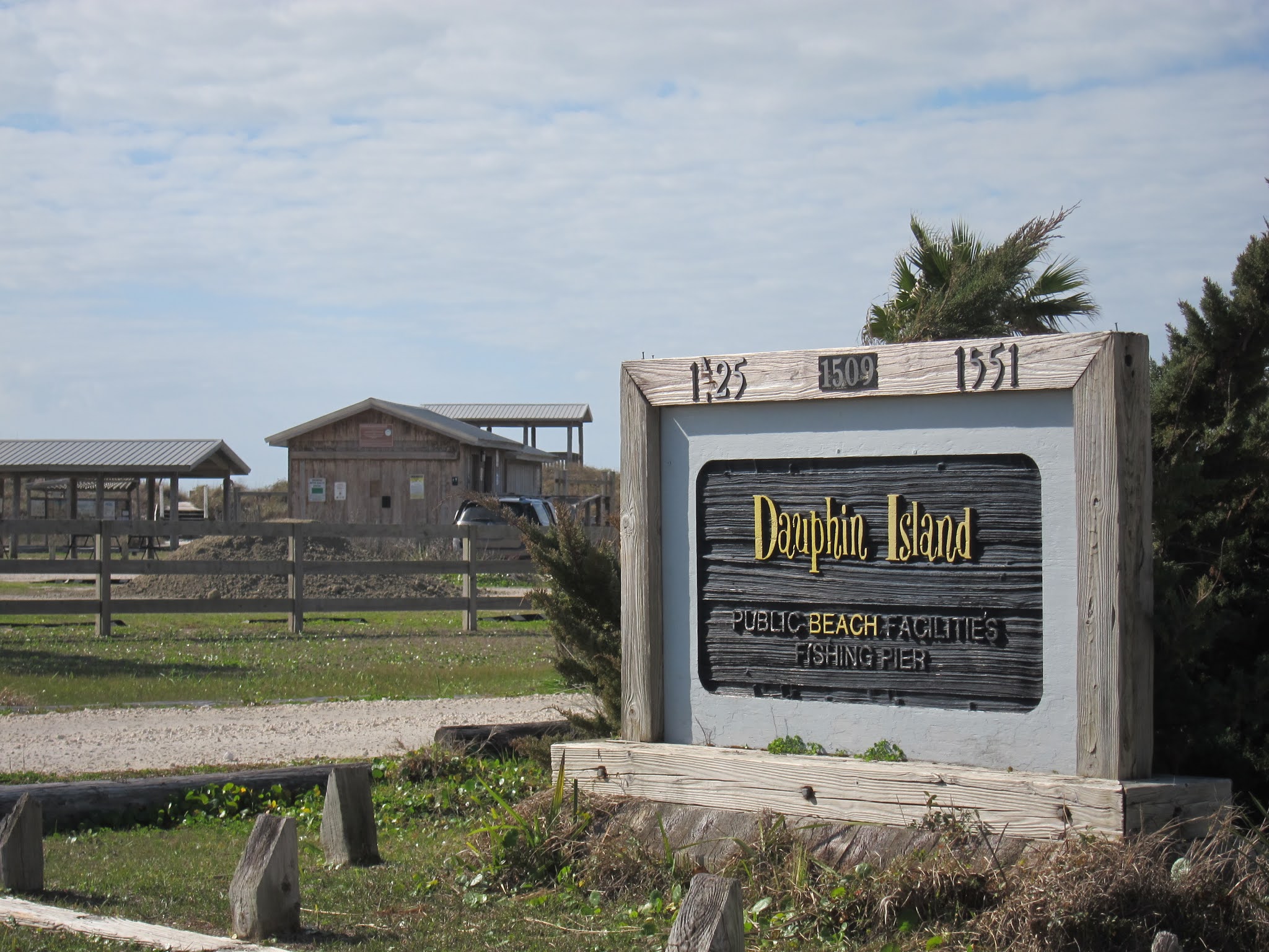
I also pulled over to take a photo of the official sign welcoming visitors to the island. Lest someone think that the "D" word is mis-spelled, it is helpful to know the origin of the name. An heir to the throne of France was called a "dauphin", and this island was named in honor of Louis XIV of France's great-grandson and heir. The word dauphin is French for dolphin, but during the period of history that this land belonged to France, the term was used as the title of the heir apparent to the French monarch.

For me as a first-time visitor, my primary goal in getting oriented to the island, was to drive the main road that goes from the eastern end of the island, to the western end. After getting as far as I could going eastward, I turned around to go in the direction of the ferry that I knew was on the west end of the island. As I was driving towards the ferry location, I saw the large multistory, oceanfront condominium property I had read about, when I was searching on line for a suitable overnight lodging for the one night I planned to spend on the island. However, at the time I looked, they were only renting in segments of a full week---much more than I needed. Likewise, as I was driving around the island, there were numerous large beach houses for rent, but they, too, were much more than I needed.


I was up early the next day, to see as much of the island as I could, before catching the ferry. I discovered that the Gulf Breeze Motel where I was staying also had its own set of docks, and a boat ramp, which I was oblivious to when I checked in, as it was hidden from view. When I was walking around the waterfront part of the motel property, I observed that one can also see the bridge to the mainland, on the distant horizon.

The Dauphin Island public beach park was located just across the highway from the motel where I stayed. It had ample parking, picnic pavilions, and elevated viewing platforms.
Elevated viewing platforms give better views of the Gulf of Mexico, as well as the estuary, marshes, and sand dunes that provide habitat for the flora and fauna of Dauphin Island.

This structure, which could be locked off, led to the pier:

Bird watching is a popular activity on the island, so my next stop on Dauphin Island was the Audubon Bird Sanctuary:

Hundreds of different species pass through this area, as it is a popular "rest stop" for migratory birds flying between North America and South America.
 The bird sanctuary has several live oak trees, which is the type of tree I am leaning on in this photo. Some of the older and larger live oak trees on the island are called "Goat Trees". The story goes that the goats would scramble up into these trees at night to sleep, in order to escape the alligators. Even though there were numerous signs throughout the bird sanctuary warning about alligators, I did not see any when I hiked through the area.
 The bird sanctuary contains a large pond, that would be the perfect feeding and resting place for waterfowl traveling through. A bird might think of it like a human thinks of a well-equipped rest stop, that one finds along our nation's Interstate highway system!
 There are several miles of walking paths in the Audubon Bird Sanctuary. This photo shows one with a hard-packed dirt surface, covered in pine needles.
 Sections of the trails that go through areas more prone to flooding have elevated board walks. As you can tell from the photo here, the vegetation of this section is composed mainly of pine trees and saw palmettos.
 I have learned by "trial and error" that it is always helpful to take a photo of the trail map where you will be hiking, so you can refer to it later, when you are confused about which path to take at an intersection!
 After trying several different trails, I chose the trail that I thought would lead to the open ocean. The sound of crashing waves was a big clue, I was headed in the right direction!

My next stop was to go to the ferry, pay the fee, and get to the front of the line, so I could be assured of my car making it onto the vessel, which only carries a few cars at a time. My car is the red one on the left. The ticket booth attendant said I could leave the car in line, locked up, and continue to walk around the area to explore.


Eventually, it came time to board the ferry, and my car was taking its first ever ferry ride! This photo of me beside my car shows I am giving thanks and praising God that I was able to take my first-ever journey on the Dauphin Island Ferry! Not everyone who wanted to get on the ferry for this trip was as fortunate, however. The ferry was built to hold 25 cars, so you can imagine that during busy tourist seasons, the ferry may fill up quickly.


President Barak Obama stood at this spot, when he visited the area on June 14, 2011, to survey the effect of the oil spill brought on by the explosion in the Deepwater Horizon, off-shore oil drilling operation. Here is a close-up of the small, unpretentious sign. It is amusing to note that when a U.S. President is in his airplane, it's call sign becomes "Air Force One". Likewise, whenever the U.S. President was on the M/V Marissa Mae Nicole, its call sign was "Ferry One"!

The end of the island where the ferry is located, is also the site of a historic military struggle, near a place called Fort Gaines. I am using the concept of a "struggle between opposing forces", to help me remember one of my First Place 4 Health (www.firstplace4health.com) memory verses: "For our struggle is not against flesh and blood, but against the rulers, against the authorities, against the powers of this dark world and against the spiritual forces of evil in the heavenly realms." Ephesians 6:12. Hence, Fort Gaines on the end of Dauphin Island, and Fort Morgan on the Alabama mainland, served to protect Mobile Bay. It was the Battle of Mobile Bay on August 5, 1864, during the American Civil War, that the famous phrase, "Damn the torpedoes! Full speed ahead!", was uttered by Rear Admiral David G. Farragut . Farragut went on to become the first admiral of the U.S. Navy, and his phrase became a U.S. Navy traditional battle cry.

My journey back to the mainland was complete, when I reached Fort Morgan, Alabama, which is the sight of the Fort Morgan State Historic Site. It too has seen many struggles. Besides the Civil War, it played defensive roles in the Spanish-American War, World War I and World War II. If you would like to explore this section of the southern United States, visit their website at www.dauphinisland.org to plan YOUR expedition!

Having "circumnavigated" Dauphin Island---arriving via bridge and leaving via car ferry---my expedition to Dauphin Island was a great experience, and gave me "MILES OF SMILES"!! Tricia
