Wednesday, December 14, 2022

ILLINOIS RIVER KAYAK EXPEDITION!

I enjoy kayaking, and I enjoy learning new things, so when I found out that the Illinois River Watershed Partnership (www.irwp.org) was sponsoring an educational float trip on the Illinois River, I applied to be a participant.  As you can see from the number of boats in the photo below---dozens of other folks also wanted to participate!


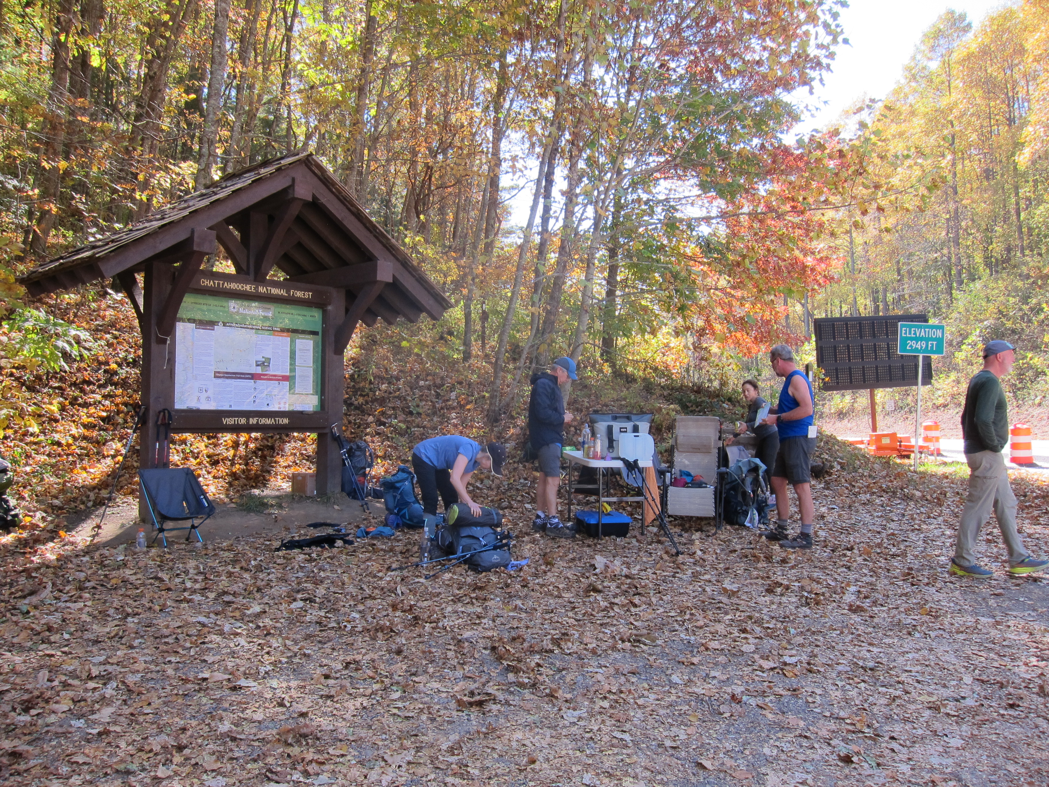
Our group started at the Siloam Springs Kayak Park (www.siloamspringskayakpark.com), on a beautiful autumn day:
There is an expansive parking lot above the park, lined with sidewalks, and steps that lead down to the river.  I took the photo below from the sidewalk above the put in location:
Improvements have been made since I visited there on July 31, 2015, with my grand-kids (they are shown in photo below)
We saw feet protruding from this hammock shown in photo below, but we never saw the bodies attached to them, so I was not able to "tag" them on Facebook seven years ago, since the social media platform only has "facial recognition" software, and not "foot recognition" software!


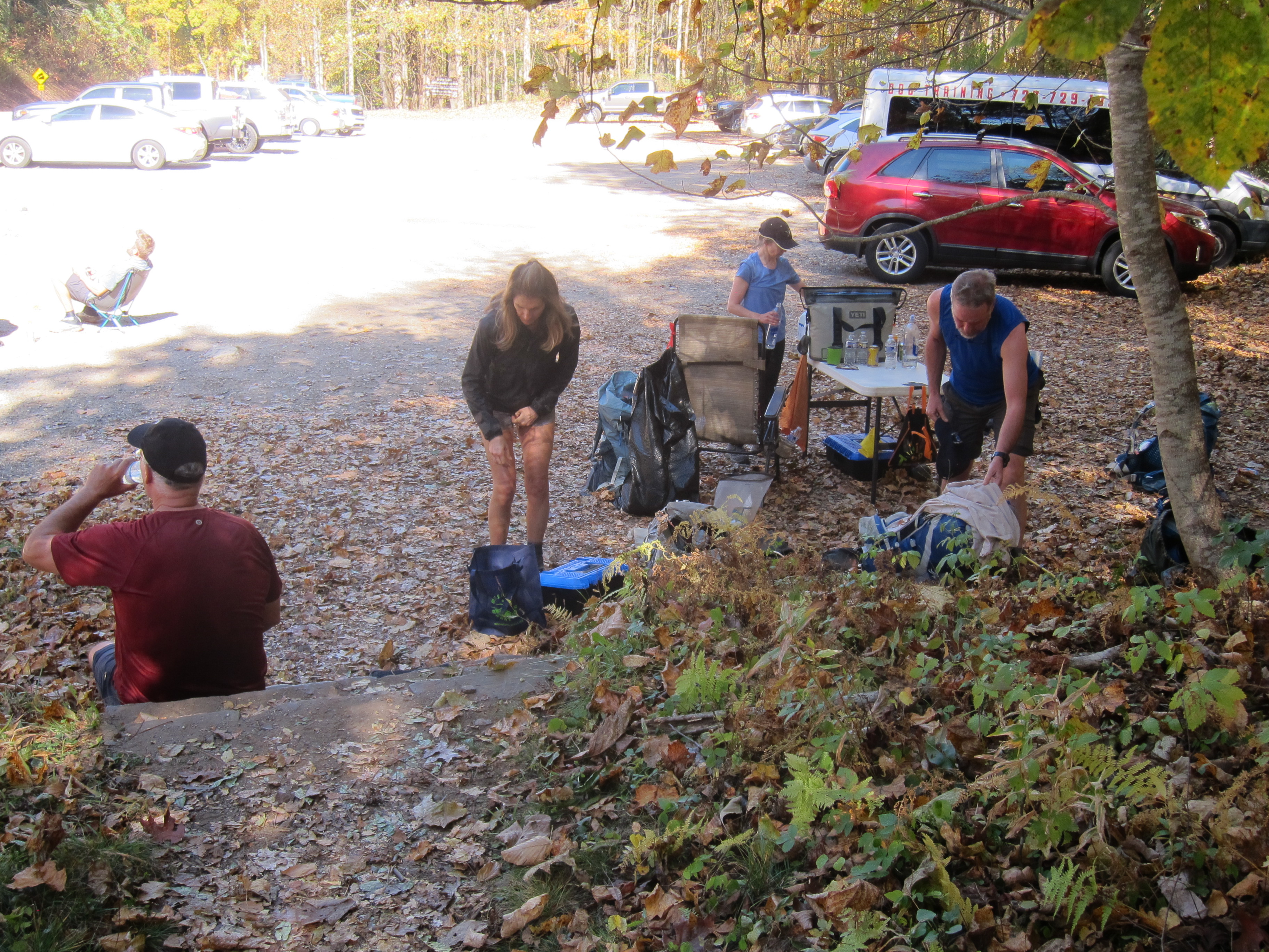
When it first opened, there were no restrooms at the park, but that has changed.  Now there are restrooms adjacent to the parking lot, and they can be seen in photo below, behind the gentleman giving us our "river float plan"
The photo below shows participants putting their gear into whatever kayak they chose, from the line-up.
The outfitter for this trip has the name 37 North Expeditions (www.37northexpeditions.com) and they did a great job of having all the kayaks unloaded, and equipped with a personal flotation device (aka, life jacket)
I was so thankful to get to have this experience, that I wanted a photo of me with arms uplifted in gratitude to God, and the IRWP, for making it possible! That is because Arkansas Master Naturalists, such as myself, were not the top priority for selection.  Rather, the priority was to get NWA city/county officials, NWA water/sewer department directors, and Eastern Oklahoma representatives in those same positions, "up close and personal" to this important body of water. 

I do not know if this large expanse of rock levees and "piers" shown below are natural or man-made, but they provide countless opportunities for guests to the park, to explore and experiment, during various seasons of the year. 

 
The photo below shows the rocks extend well out into the river, and create a bit of a "white water" channel for the more adventurous paddlers.  


There is a second "white water" channel farther down the stream, and some folks chose to put in below that "challenge opportunity" (including me!)
Thankfully, I made it into the middle of the stream successfully, and one of the leaders took this photo of me, giving a "paddler's victory salute"!
One of the first questions I had is, "Why is it called Ilinois River, if it is not in the state of Illinois, rather just Arkansas and Oklahoma?"    The illustration below,  from the book by Kenneth L Smith, called Illinois River, shows that the 145-mile long, spring-fed  river starts in northwest Arkansas, flows into Oklahoma, and then flows into the Arkansas River. 
If you follow business trends, then you know that the northwest corner of Arkansas is one of the fastest growing areas in the USA.  With that comes concerns about the effect of population growth on water quality.  So, a short ways down the river, all the boats pulled over onto a gravel bar, so we could hear a variety of experts illustrate some of the problems being experienced.  Those in kayaks could easily exit their boats without assistance, but folks in rafts (who had less experience as paddlers) were quickly assisted by the 37 North personnel. 


Our instructor shows us the kicking/digging maneuver, that is used to sir up the tiny critters that live in this water habitat, so they can be scooped, using the net he is holding.

Then using a strainer, we put the creatures in a white container, so they could be easily seen:

We inspected the results, throwing out the leaves and sticks and pebbles.  (If you have been through the Arkansas Master Naturalist training program, this procedure is an integral part of your classes)
 
Notice all the spectators below are wearing different colored hats, which I thought made an "artsy-type" photo opportunity! The photo can also be a metaphor for all the different "hats" stake-holders wear within the Illinois River Watershed.  When a river runs through more than one state (which is the case for the Illinois River), there are usually inevitable conflicts between the "upstream" vs. "downstream" users.  This has certainly been the case for the Illinois River, with extensive litigation occurring since the 1970's,   that even ended up in the Supreme Court.  One can read more details on the various lawsuits, on www.wikipedia.org and www.EncyclopediaOfArkansas.net. 


One of the major issues discussed on our trip, was stream bank erosion, and its effects on water quality.  This photo below shows an example of how the stream is eroding away a pasture, and exposing  tree roots.  The degradation on the ground results in the tree falling across the river, impeding floating by paddlers.  The erosion also affects land value.  A long-term study showed that Northwest Arkansas is losing 20 acres per year, along this watershed, due to stream bed erosion.  This calculates into 102,822 additional tons of sediment going into the river per year!


 The speaker's comments caused me to notice that I am also losing acreage on my property, from steambank erosion.  (photo below).  Knowing the effects of sediment buildup in rivers, a Scripture verse I came across took on new meaning.  The prophet Isaiah warned "The rivers will turn foul; the brooks of defense will be emptied and dried up." (Isaiah 19:6)  None of us want that to happen!
Stream bank erosion is more prevalent in habitats that do not have a lot of bluffs.  Unlike the Buffalo National River, I saw fewer bluffs along the Illinois River, and one of them is shown in photo below:

After measuring water quality during out stops, we got back in our boats and continued our float down stream.  Photo below shows I am still dry, and I have managed not to roll over, so far.  However, those downed trees I mentioned earlier did cause me an issue.  A huge one was hidden, slightly submerged under water, such that I floated over it, and the inflatable kayak I was in "high centered" on top of it.  In my normal kayak, I can usually scoot and rock my body to get me off of such an obstacle.  However, it was a different story in an inflatable kayak!  I would probably still be there, if one of the rafts carrying four people, had not drifted by and pulled me off the submerged log!
I took this photo below, of Morgan Keeling, who is a staff member of the IRWP.  She does a fantastic job of planning programs and events for IRWP that fulfill the mission of the IRWP.  On their website, they describe  that mission as working to improve the integrity of the Illinois River Watershed through public education, outreach, and implementation of conservation and restoration practices throughout the watershed.


The IRWP works to promote good water quality, promote storm-water friendly practices to help avoid flooding/stream bank erosion, to help farmers, to assist with septic tank remediation issues, to provide both in-person and on-line educational programs, and to maintain a website with information on best management practices, easily accessible.  Thanks to their efforts, folks are able to recreate on a clean stream, framed by the changing seasonal colors, of the deciduous trees along its banks.

 
Our group exited on river right, very close to the Highway 59 bridge:

There was a sign telling us where to exit, which is very helpful because I have been on river floats before, where we missed the takeout location because there was no sign!
This simple word "Gypsy", is a clue that we are at Gypsy Camp and Canoe (www.gypsycampcanoe.com), which is an outfitter that rents kayaks and canoes. 

The vans and kayak haulers from 37 North Expeditions were awaiting our arrival:

Our group then took the short stroll up to the Gypsy Camp Historic District, which you can see many more photos of, on their Facebook page.  I had read some on the history of Gypsy Camp, and learned that it was a summer camp for girls, started in the 1920's. 
The camp consisted of four cabins for campers, a dining/recreation hall, and three residential structures. 

The camp operated from 1921-1978, and its 11.5 acres have been listed on the National Register of Historic Places since 1988.  According to historical data I read on line, the camp was attended by some girls who went on to become well-known citizens, including actress Mary Martin, Walmart heiress Alice Walton, and attorney Dana Daniels Nixon. 
Remember the camp was started before electric air conditioning was common in rural areas, so these gals had some formative experiences of  "roughing it", through the hot and humid summers of Arkansas!

37 North Expeditions had set up tables and chairs for us at the camp, so we had a delightful outdoor catered lunch:

After our lunch, one of the officials from the Oklahoma side of the Illinois River, told us about the work her agency is doing to promote water quality in their state.  In that state, the Illinois River is designated as a "scenic river", and has a bigger impact on tourism there, than it does in Arkansas. 

The rock arbor shown in photo below is part of the Gypsy Camp Historic District, and I read that "The Arch" was often the designated "meet up" location for various camp activities.
The view of the blue waters of the Illinois River is seen in the distance, framed by that arch, and the goal is to KEEP it blue!  Let's all do our part to make that happen, so that like me, the generations to come will be able to have Illinois River paddling trips that give "MILES OF SMILES"!  Tricia

Addendum:  

While doing research for this article, I learned from Facebook, that one of my Kappa Alpha Theta sorority sisters from college, Dana Daniels Nixon, had a connection to Gypsy Camp for Girls.  She graciously texted me copies of some of her vintage photos from that place, and gave me permission to include them with this blog.

The name labels in the photo below point out which one of the "gypsies" is Dana.  Dana said she originally had her mother's costume, who also attended Gypsy Camp as a youngster, but it became too fragile for Dana to wear.  Therefore, Dana's great grandmother made her the new costume you see in the photo.

Photo below shows Dana's mom, when she attended the camp in 1939.

Photo below shows expansive yard in front of the camp buildings.  This is the same space my IRWP group used decades later, to have our outdoor catered lunch.

Photo from Happy Birthday celebration for camp founder:

The names on this photo show Dana Daniels, and fellow camper--Alice Walton--, standing in line for hot dogs.  Although I was not a camper with Alice Walton, I did have the opportunity to visit the home she grew up in, at Bentonville, Arkansas.  Alice's mom, Helen Walton, hosted several youngsters from our Harrison, Arkansas, Presbyterian Youth Group, for an overnight retreat at their expansive home.  As Mrs. Walton was showing us where our sleeping quarters would be, we got to take a peek inside Alice's room.  All I remember about that room was that the walls were covered with blue and red silk prize ribbons/medallions she had won demonstrating her equestrian skills at horse shows and fairs around the country.  The other thing I remembered from the Sam and Helen Walton home was that  Mrs. Walton said we could use any of the seven bathrooms she showed us.  I was overwhelmed and amazed, because the house where I lived only had one bathroom.  This church youth retreat took place in the midst of the sixties civil rights disputes, when many people of faith were working to show that God loves every one---"red and yellow, black and white, they are precious in HIS sight".   Since the Harrison church youth group only had Caucasian kids, the church leaders of Northwest Arkansas wanted us to meet some Christian youth, that were a different color than we were.  Mrs. Walton did her part in making that a reality for us Harrison kids.  I am very thankful to her for her gesture of hospitality and improving race relations.    I read in the newspaper some time after that weekend experience in the Walton home, that it burned to the ground, but the family rebuilt a new one-- bigger and better, with even more restrooms!  Decades later, Alice Walton built Crystal Bridges Museum of American Art, in Bentonville.  I have been there many times, and it is my goal to go to each ladies' rest room on the campus there, which I can assure you is considerably MORE than seven!


Dana said it was okay to quote her regarding what she learned during her time spent on the banks of the Illinois River, participating in Gypsy Camp activities:  "To respect the awesomeness of nature and humankind at the same time.  To embrace competition and learning, while learning to lose gracefully.  To be independent, but to support teammates.  To love with all one's heart."   A big THANK YOU to Dana for these photos and her remembrances about Gypsy Camp for Girls. 

Likewise, on the IRWP educational float trip, I was reminded of the awesomeness of both nature and humankind, and how it is up to us humans to be good stewards of the awesomeness of Arkansas, THE NATURAL STATE!  

MILES OF SMILES!!  Tricia

Thursday, December 1, 2022

APPALACHIAN TRAIL EXPEDITION!

In October 2022, I left Arkansas to drive to North Carolina, to participate in  Road Scholar program ( www.RoadScholar.org) #17288, called "Nature Hiking in the Southern Appalachian Mountains".  I had participated in this same program in 2017, but many of the hikes that were planned for the 2017 trip got cancelled because of severe weather as a result of Hurricane Irma. ( You can read all about the adjustments that were made in that itinerary in the article I published on this blog, dated October 12, 2017, and titled "Southern Appalachian Hiking Expedition.)  As I was driving on a stretch of highway between Helen, Georgia, and Hayesville, North Carolina, I came across an expansive parking area that was designated for Appalachian Trail hikers, and their shuttle drivers.  I wanted to get a feel for what lay ahead, so I stopped to take a few photos, including this glass-covered map at the trailhead beside the highway:


There was a table there supplying "Trail Magic" for exhausted through-hikers, and a group of hikers resting while they waited on their shuttle drivers.  A "through hiker" is defined as a person who hikes the entire trail during a 12-month span of time.  The Appalachian Trail (abbreviated A.T.) is a 2,194 mile-long footpath that crosses the hills, valleys, and ridgelines of the Appalachian Mountain Range. It  has the honor of being the longest hiking-only footpath in the world, and traverses 14 states.
"Trail Magic" refers to the act of a "Good Samaritan" volunteer, setting up a relief station with water and other treats for hikers as they pass by the area. Such assistance is just a small sampling of the 240,000 volunteer hours per year, that enable the A.T. to endure about 3 million visitors per year!

Part of the trail came down to the area on the same side as the parking lot, and then continued across the highway.  Intersections such as this--where the trail intersects with a highway--are popular as MEET UP locations.  A foot trail as long as the A.T. is going to have LOTS of "intersections" with state  borders, various government agencies, volunteer organizations, etc.; I consider it a miracle that this trail, conceived in 1921, built by private citizens and completed in 1937, still exists today, in a society that has increasingly lost the desire to spend time outdoors!

And speaking of MEET UP locations, I was happy to MEET UP with other Road Scholar hikers on a Sunday afternoon, at the Hinton Center, in Hayesville, North Carolina (www.hintoncenter.org).  It is worth noting that this facility is also open for lodging for individuals, and not just groups. I would highly recommend you consider it, if you are ever in the area!  As we did every morning during the week, we met on the deck of the dining hall before sunrise on Monday morning, so that we could do stretching exercises, as we watched the sun come up over the lake:

The deck where we stretched is adjacent to the Hinton Center Chapel, which has this amazing view to those who are seated inside::
In addition to serving the purpose of stretching our muscles, the early morning time on the deck gave us the opportunity to listen carefully for bird sounds, which naturalist Liz would then identify for us, as to the name of the bird making that particular call. 
After breakfast, we would gather in front of our lodging, beside the vans, and get a review of the area we would be hiking on that particular day:

At the time of this program, Road Scholar was requiring masks when we were indoors, riding in the vans, or in close contact with others. 

This is a close-up of the map:

I will not give a detailed account of the Monday, Tuesday, Wednesday, and Thursday's hikes, but will state that we hiked a different part of the Appalachian Trail each day, and the following were "place names" listed for the week:  Standing Indian basin, Rock Gap, Glassmine Gap, Long Branch Trail, Deep Gap, Standing Indian Summit, Glade Gap, Chunky Gal, Boteler Peak, Winding Stair Gap, Swinging Lick Gap, Panther Gap, Siler Bald, Wayah Crest, and Winding Stair.  It is a very good thing that I was with a trained, and experienced hiking guide, because after the first "Gap" nomenclature, I was confused, even though I had seven more "Gaps" to navigate!

One of the mountains we summited I am able to remember because there was a marker at the top that showed its name and elevation.  (the marker is next to my feet in this photo)

There were several other hikers at the summit, so we were able to get a group photo:


The following photos are just some interesting features of nature that we saw along the trail, that I want to remember, and so I am including them in this blog.  After all, the name of this program was "NATURE HIKING", and our leader was Naturalist, Liz Domingue (www.JustGetOutdoors.com).  My goal was to enjoy (and photograph!) some of the fascinating aspects of the natural world---not just race from "Point A to Point B"!  The other hike leader was Linda Flynn, and both ladies were valuable sources of information about the outdoors. I used both a Canon pocket-size digital camera, and my iPhone.  The nice thing about the iPhone, is that you can easily get that "fuzzy" look for a waterfall, without having to use a tripod (which is the way it was done in "days of old"!) 

I remember my high school science teacher, Mrs. JoAnne Rife, teaching us that where we lived in Arkansas, was part of the "Oak-Hickory Biome".  However, the area in North Carolina where we were hiking, was part of the  "Oak-Heath Biome or Forest".  This is a type of deciduous forest with well-drained, acidic soil, containing plants from the oak family and the heath family (Ericaceae).   Ericaceae would include heath plants, mountain laurel, blueberries, huckleberries, sourwood, azaleas, and rhododendron.  There are numerous sections of the A.T. in this area that pass through "Rhododendron Tunnels", and the photo below shows a hiker entering a rhododendron tunnel. 


One of the interesting features Linda pointed out along the trail was the "Eiffel Tower Tree":

 Another tree I spotted along the trail, had an unusual "crossed fingers" formation near its top:
We learned about a substance called "Rock Tripe", that our leader said was used by early settlers for food, whenever all other rations had been depleted (aka, a "famine food").  Several of us tasted it, and did not find it delicious, but perhaps acceptable if nothing else was available.  I would describe the taste as "bland", and I read later,  that it is often used in Asian cuisine, as well as traditional Chinese medicine. 
Rock tripe looked like "dark chocolate" peeling off a rock, as seen in photo below:

Our leader also pointed out this unusual "art work" of nature along the trail, that resemble hiking boots!
 
This profile photo of a hiker with her two hiking sticks (also called "trekking poles")  is a reminder to encourage the use of these walking aids when doing the A.T., as they can help take pressure off your knees as you ascend and descend.  Plus, they are very helpful for stability when doing water crossings. 


The photo below shows our entire Road Scholar group:

The group photo of all of us was taken by Bev Richardson, who along with her husband, Rod, had the role of "Host Couple" for our Road Scholar program.  They are pictured below, with birthday cake, as we got to celebrate Rod's birthday during our week at the Hinton Center.


 Appalachian Trail guidelines recommend no more than ten people to a group, so each day,  we split into two groups of ten each.  This photo shows one of the groups of  ten, that I was with on the first day.


When you are hiking the Appalachian Trail, it is POSSIBLE that there will be a sign as you enter the trail.  However, don't count on it!

Some of the trails show a sign on a post at the trail head, with AT standing for Appalachian Trail, and N, standing for North.  That is what I am pointing to, in the photo below:


Most "through hikers" on the A.T., start their trek at the southern end, at Springer Mountain in Georgia.  They go in a northerly direction, to where the trail ends in Katahdin, Maine.  Signs like the one below are very helpful, but one also needs a paper map to help navigate the numerous twists and turns the trail makes (many necessitated to circumnavigate private property, and keep the hikers on public lands).  Skill in using a GPS would also be a valuable asset for backpackers!
Since friends I know who backpacked on the A.T. said they preferred to sleep on the exterior of an A.T.  shelter, rather than the interior, it made me curious what they looked like, so  I was glad that our group  was able to take a side trail to examine a shelter:
The shelter had an elevated area in the back, (presumably for placing a sleeping bag), a sitting bench, a counter-height bench, a roof, and a concrete floor. 


This particular shelter also had a "potty" of sorts, several yards away from the roofed in structure:


For the most part, The A.T. trail is marked by white rectangular metal "blazes", nailed to a tree.  The blue blazes could indicate a side trail to a shelter for overnight use:

I used my Fit Bit to record the steps I took each day, and every day was a new personal record for me! The most steps per day I ever logged was 28,143.  I was feeling really proud of myself, UNTIL I came across this figure, as I was researching information for this blog:  "It takes roughly 5 MILLION steps to hike the entire Appalachian Trail"!!    Those numbers reminded me of the verse in the Psalms that talks about "steps".  Psalm 37:23 says, "The LORD makes firm the steps of the one who delights in Him."  I was delighted I was able to complete the number of A.T. steps that I did, even though they are a LOOOOOOOOONG way from five million!  Making it to four separate summits, on the four days of A.T. hiking, means four photos of me with hands uplifted to God, in gratitude for being able to take the steps needed to make the summit! 
One reason I was so joyous about participating in the 2022 program is because so many of our hikes were cancelled when I did the same program in 2017.  However, one aspect of both programs included a visit to the Wayah Crest area.  Hence, I was able to get my photo with the same sign, but with me five years older, in one of the photos!:

To find out more about the Appalachian Trail, check out the website for the Appalachian Trail Conservancy (www.appalachiantrail.org) and the National Park Service ( www.nps.gov).
  I am thankful for every step I was able to take on the Appalachian Trail for this program, and it gave me "MILES OF SMILES"!!  Tricia