In the Arkansas Ozarks, it "bids well" to hike at "Bidwell" Park during the winter, when the park is less crowded. And I don't mean, that it is less crowded just because there are fewer campers, picnickers, and boaters in the park. It is also less crowded in terms of ticks and chiggers! So if you have been "itching" to get outdoors, now is the time to do it! If you wait until warmer weather, you will be itching, because those lovable little ticks and chiggers will want to join you on your expedition!

Bidwell Park is part of a system of well-maintained locations around Norfork Lake, near Mountain Home, Arkansas. They are under the jurisdiction of the U.S. Army Corps of Engineers, as well as the Ozarks Keystone Trail endowment.

I was there recently with my female friends who get together on Wednesday mornings to explore different trails around the Ozarks. On this day, we were exploring one of the sections of David's Trail (
www.davidstrail.org ), that starts across the highway from Bidwell Point Park. Since there is no parking at the actual trail head, it is necessary to park in the Corps of Engineer park, then CAREFULLY cross Highway 101.

The entrance to the trail is not visible from the highway, because it drops off steeply down the hill, as soon as you enter it.

Walking along this shoreline will give the hiker good views of both the Highway 101 Bridge and the Highway 412 Bridge that cross Lake Norfork. Those of us who remember having to make these crossings via ferry boat in "the olden days" probably have a greater appreciation of these bridges that you young whippersnappers!

The current low lake levels, combined with the hundreds of dead, fallen trees from our big ice storm a while back, have created some coves that were piled high with gigantic "logjams" of driftwood. It reminded me of the log jams I had seen on Pacific Coast beaches in British Columbia.

Our group passed by this picnic table, where one could enjoy a time to sit and enjoy the view of Lake Norfork. If you go back in the summer, you could be sitting at this table and not even be able to see the water, because of the dense vegetation that will fill the space, when the underbrush has grown up, and all the trees have leaves on them.

Another recent winter hike I took was also on Lake Norfork, but on the western end of the lake, in Pigeon Creek Park. Pigeon Creek Park is also a Corps of Engineer Park, but through a partnership with a local bicycle club, a wonderful multi-use area has been developed called the Pigeon Creek National Recreation Trail.

There are parking areas on both the east and west ends of the Highway 201 North bridge. The benefit of the the East side parking lot is that there is a portable bathroom, which is always helpful!

There are several different locations where one can begin their hike, and the distance you cover depends on where you park to begin.

For this hike, I was with a group of my Arkansas Master Naturalist friends ( www.arkansasmasternaturalists.org ). We met a man walking his dog at this scenic overlook along the trail, and got him to take a group photo of us. This spot has been nicely cleared of underbrush, and a sturdy park bench added, so that one could enjoy a view of Lake Norfork year-round from high atop this hill, overlooking the water.

The trail goes by the remains of an old building, giving rise to speculation as to its history.

At the website
www.americantrails.org , one can download, then print, a map of the numerous trails available at Pigeon Creek. There are no maps available at the trail heads.

Some of the trails are marked with blue blazes to help one get their bearings. One of the trail markers also had the GPS co-ordinates on it, as well.

The trail description on the Internet says hikers will go through a stand of pine trees that was planted over fifty years ago, and they are shown in this photo. That means they were planted around the time that the Lake Norfork Dam was being built.

Leaving the state of Arkansas, and driving north into Missouri, my women's hiking group traveled to the Devils Backbone Wilderness, in Mark Twain National Forest to hike Raccoon Hollow Trail ( You can find directions to the trail at www.fs.usda.gov/recarea/mtnf )

There is not a sign along the highway marking the trail head, so you have to be very alert to see the turnoff to its secluded entrance in a thick pine forest. There are over 1.5 million acres in Mark Twain National Forest, so be sure to have a good map when you start out on your trek!

Considering the cold temperatures and distance we had to drive to get to this remote trail, it is surprising that over 30 ladies turned out to explore Raccoon Hollow!

Devils Backbone Wilderness Area is one of 8 wilderness areas protected and preserved in the state of Missouri. It was designated in 1980, and has a total of 6,595 acres. It was named for a prominent ridge down the center of the area, and is described as "limestone glades", near the little town of Dora, Missouri.

I am thankful we are being good stewards of this beautiful land God has created for us. Seeing the beauty there, illustrates this verse from Psalm 96:12 that says "Let the fields be jubilant, and everything in them. Then all the trees of the forest will sing for joy." Think of the chorus of joy that 1.5 million acres of trees are singing!! My First Place 4 Health group (www.FirstPlace4Health.com), is memorizing the first two verses from the same psalm, that says, "Sing to the Lord a new song; sing to the Lord, all the earth. Sing to the Lord, praise his name; proclaim his salvation day after day. Declare his glory among the nations, his marvelous deeds among all peoples" Psalm 96:1-3. So get out there and take a winter hiking expedition, so that you, too, can sing with joy and have MILES OF SMILES! Tricia
 In the Arkansas Ozarks, it "bids well" to hike at "Bidwell" Park during the winter, when the park is less crowded. And I don't mean, that it is less crowded just because there are fewer campers, picnickers, and boaters in the park. It is also less crowded in terms of ticks and chiggers! So if you have been "itching" to get outdoors, now is the time to do it! If you wait until warmer weather, you will be itching, because those lovable little ticks and chiggers will want to join you on your expedition!
 Bidwell Park is part of a system of well-maintained locations around Norfork Lake, near Mountain Home, Arkansas. They are under the jurisdiction of the U.S. Army Corps of Engineers, as well as the Ozarks Keystone Trail endowment.
 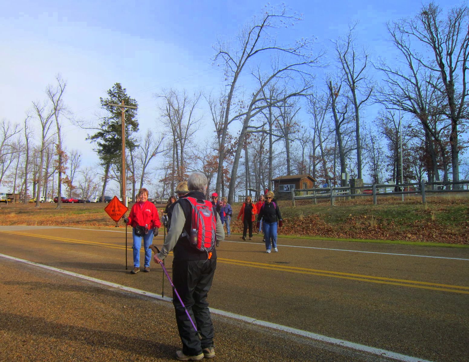 I was there recently with my female friends who get together on Wednesday mornings to explore different trails around the Ozarks. On this day, we were exploring one of the sections of David's Trail ( www.davidstrail.org ), that starts across the highway from Bidwell Point Park. Since there is no parking at the actual trail head, it is necessary to park in the Corps of Engineer park, then CAREFULLY cross Highway 101.
 The entrance to the trail is not visible from the highway, because it drops off steeply down the hill, as soon as you enter it.
  Walking along this shoreline will give the hiker good views of both the Highway 101 Bridge and the Highway 412 Bridge that cross Lake Norfork. Those of us who remember having to make these crossings via ferry boat in "the olden days" probably have a greater appreciation of these bridges that you young whippersnappers!
 The current low lake levels, combined with the hundreds of dead, fallen trees from our big ice storm a while back, have created some coves that were piled high with gigantic "logjams" of driftwood. It reminded me of the log jams I had seen on Pacific Coast beaches in British Columbia.
  Our group passed by this picnic table, where one could enjoy a time to sit and enjoy the view of Lake Norfork. If you go back in the summer, you could be sitting at this table and not even be able to see the water, because of the dense vegetation that will fill the space, when the underbrush has grown up, and all the trees have leaves on them.
 Another recent winter hike I took was also on Lake Norfork, but on the western end of the lake, in Pigeon Creek Park. Pigeon Creek Park is also a Corps of Engineer Park, but through a partnership with a local bicycle club, a wonderful multi-use area has been developed called the Pigeon Creek National Recreation Trail.
 There are parking areas on both the east and west ends of the Highway 201 North bridge. The benefit of the the East side parking lot is that there is a portable bathroom, which is always helpful!
 There are several different locations where one can begin their hike, and the distance you cover depends on where you park to begin.
 For this hike, I was with a group of my Arkansas Master Naturalist friends ( www.arkansasmasternaturalists.org ). We met a man walking his dog at this scenic overlook along the trail, and got him to take a group photo of us. This spot has been nicely cleared of underbrush, and a sturdy park bench added, so that one could enjoy a view of Lake Norfork year-round from high atop this hill, overlooking the water.
 The trail goes by the remains of an old building, giving rise to speculation as to its history.
 At the website www.americantrails.org , one can download, then print, a map of the numerous trails available at Pigeon Creek. There are no maps available at the trail heads.
 Some of the trails are marked with blue blazes to help one get their bearings. One of the trail markers also had the GPS co-ordinates on it, as well.
 The trail description on the Internet says hikers will go through a stand of pine trees that was planted over fifty years ago, and they are shown in this photo. That means they were planted around the time that the Lake Norfork Dam was being built.
 Leaving the state of Arkansas, and driving north into Missouri, my women's hiking group traveled to the Devils Backbone Wilderness, in Mark Twain National Forest to hike Raccoon Hollow Trail ( You can find directions to the trail at www.fs.usda.gov/recarea/mtnf )
 There is not a sign along the highway marking the trail head, so you have to be very alert to see the turnoff to its secluded entrance in a thick pine forest. There are over 1.5 million acres in Mark Twain National Forest, so be sure to have a good map when you start out on your trek!
 Considering the cold temperatures and distance we had to drive to get to this remote trail, it is surprising that over 30 ladies turned out to explore Raccoon Hollow!
  Devils Backbone Wilderness Area is one of 8 wilderness areas protected and preserved in the state of Missouri. It was designated in 1980, and has a total of 6,595 acres. It was named for a prominent ridge down the center of the area, and is described as "limestone glades", near the little town of Dora, Missouri.
 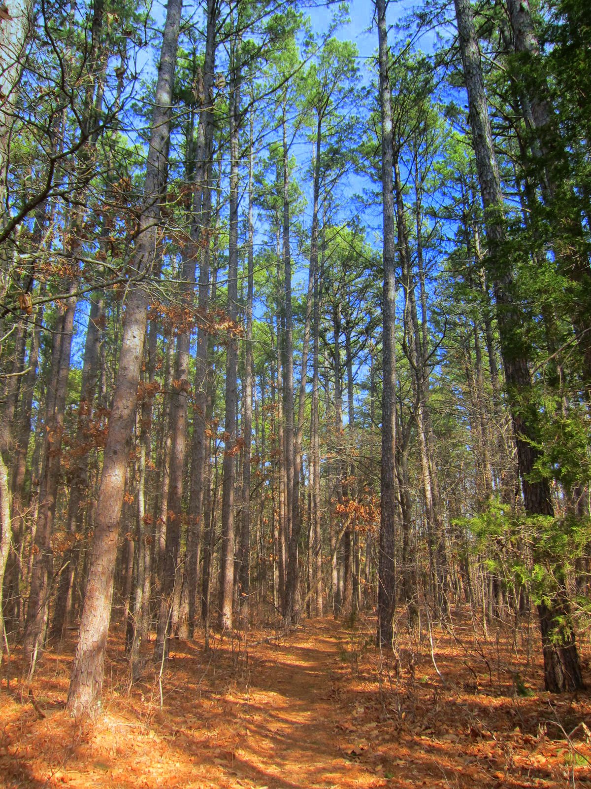 I am thankful we are being good stewards of this beautiful land God has created for us. Seeing the beauty there, illustrates this verse from Psalm 96:12 that says "Let the fields be jubilant, and everything in them. Then all the trees of the forest will sing for joy." Think of the chorus of joy that 1.5 million acres of trees are singing!! My First Place 4 Health group (www.FirstPlace4Health.com), is memorizing the first two verses from the same psalm, that says, "Sing to the Lord a new song; sing to the Lord, all the earth. Sing to the Lord, praise his name; proclaim his salvation day after day. Declare his glory among the nations, his marvelous deeds among all peoples" Psalm 96:1-3. So get out there and take a winter hiking expedition, so that you, too, can sing with joy and have MILES OF SMILES! Tricia