
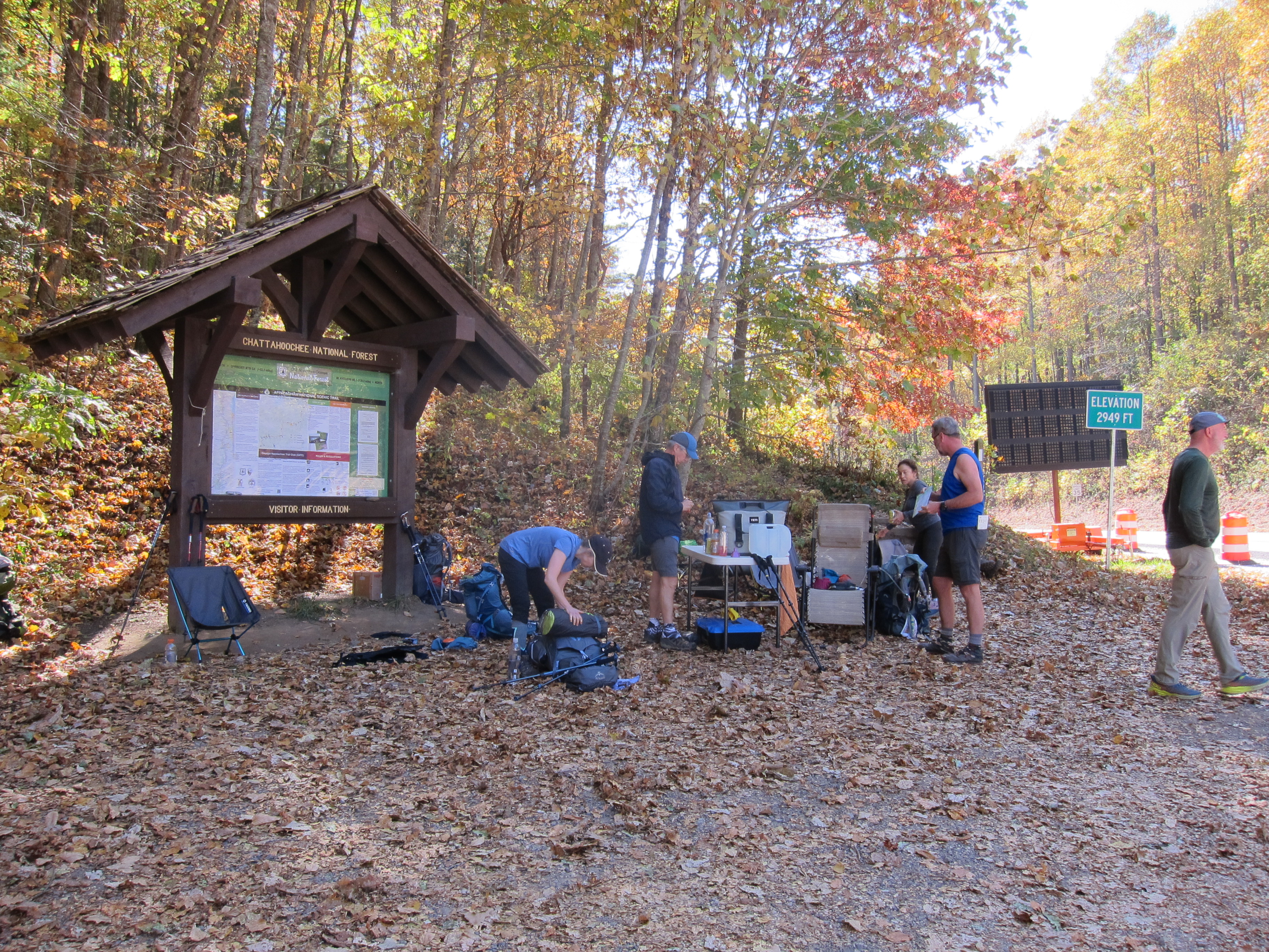
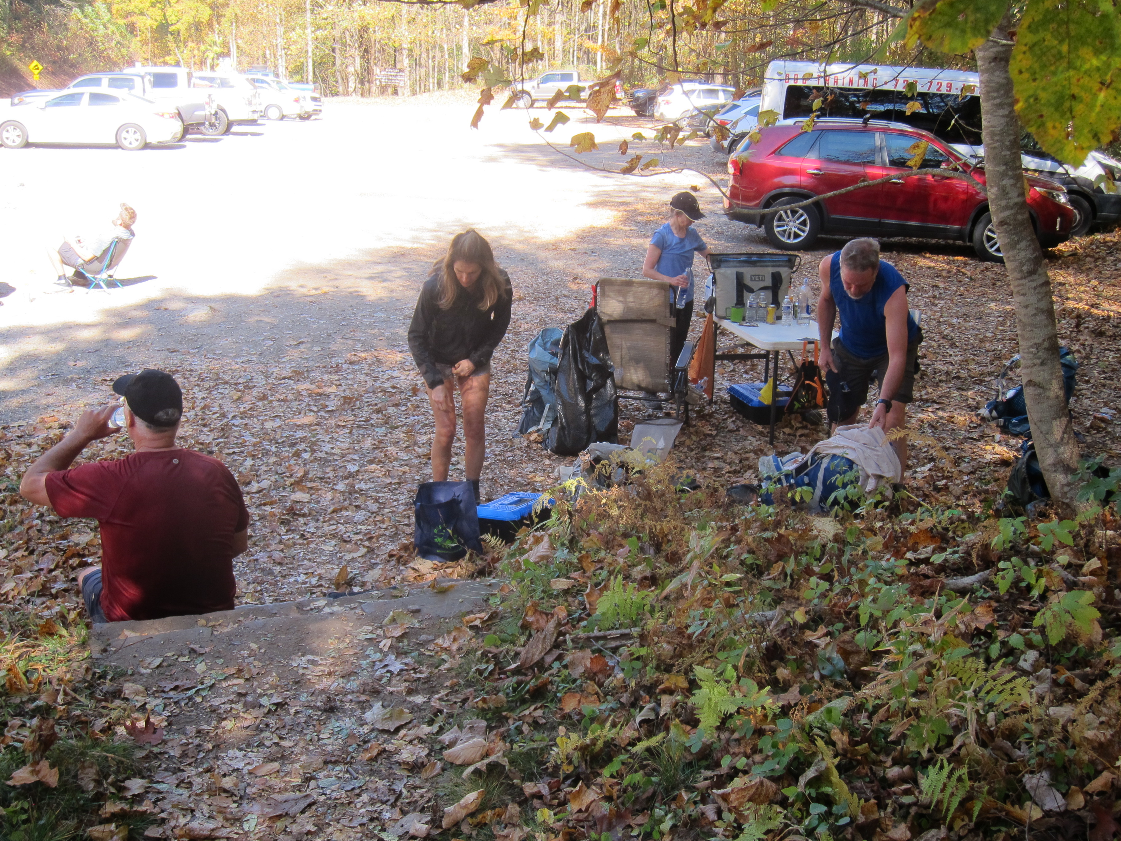
Part of the trail came down to the area on the same side as the parking lot, and then continued across the highway. Intersections such as this--where the trail intersects with a highway--are popular as MEET UP locations. A foot trail as long as the A.T. is going to have LOTS of "intersections" with state borders, various government agencies, volunteer organizations, etc.; I consider it a miracle that this trail, conceived in 1921, built by private citizens and completed in 1937, still exists today, in a society that has increasingly lost the desire to spend time outdoors!
And speaking of MEET UP locations, I was happy to MEET UP with other Road Scholar hikers on a Sunday afternoon, at the Hinton Center, in Hayesville, North Carolina (www.hintoncenter.org). It is worth noting that this facility is also open for lodging for individuals, and not just groups. I would highly recommend you consider it, if you are ever in the area! As we did every morning during the week, we met on the deck of the dining hall before sunrise on Monday morning, so that we could do stretching exercises, as we watched the sun come up over the lake:


At the time of this program, Road Scholar was requiring masks when we were indoors, riding in the vans, or in close contact with others.

This is a close-up of the map:

I will not give a detailed account of the Monday, Tuesday, Wednesday, and Thursday's hikes, but will state that we hiked a different part of the Appalachian Trail each day, and the following were "place names" listed for the week: Standing Indian basin, Rock Gap, Glassmine Gap, Long Branch Trail, Deep Gap, Standing Indian Summit, Glade Gap, Chunky Gal, Boteler Peak, Winding Stair Gap, Swinging Lick Gap, Panther Gap, Siler Bald, Wayah Crest, and Winding Stair. It is a very good thing that I was with a trained, and experienced hiking guide, because after the first "Gap" nomenclature, I was confused, even though I had seven more "Gaps" to navigate!
One of the mountains we summited I am able to remember because there was a marker at the top that showed its name and elevation. (the marker is next to my feet in this photo)


The following photos are just some interesting features of nature that we saw along the trail, that I want to remember, and so I am including them in this blog. After all, the name of this program was "NATURE HIKING", and our leader was Naturalist, Liz Domingue (www.JustGetOutdoors.com). My goal was to enjoy (and photograph!) some of the fascinating aspects of the natural world---not just race from "Point A to Point B"! The other hike leader was Linda Flynn, and both ladies were valuable sources of information about the outdoors. I used both a Canon pocket-size digital camera, and my iPhone. The nice thing about the iPhone, is that you can easily get that "fuzzy" look for a waterfall, without having to use a tripod (which is the way it was done in "days of old"!)


One of the interesting features Linda pointed out along the trail was the "Eiffel Tower Tree":


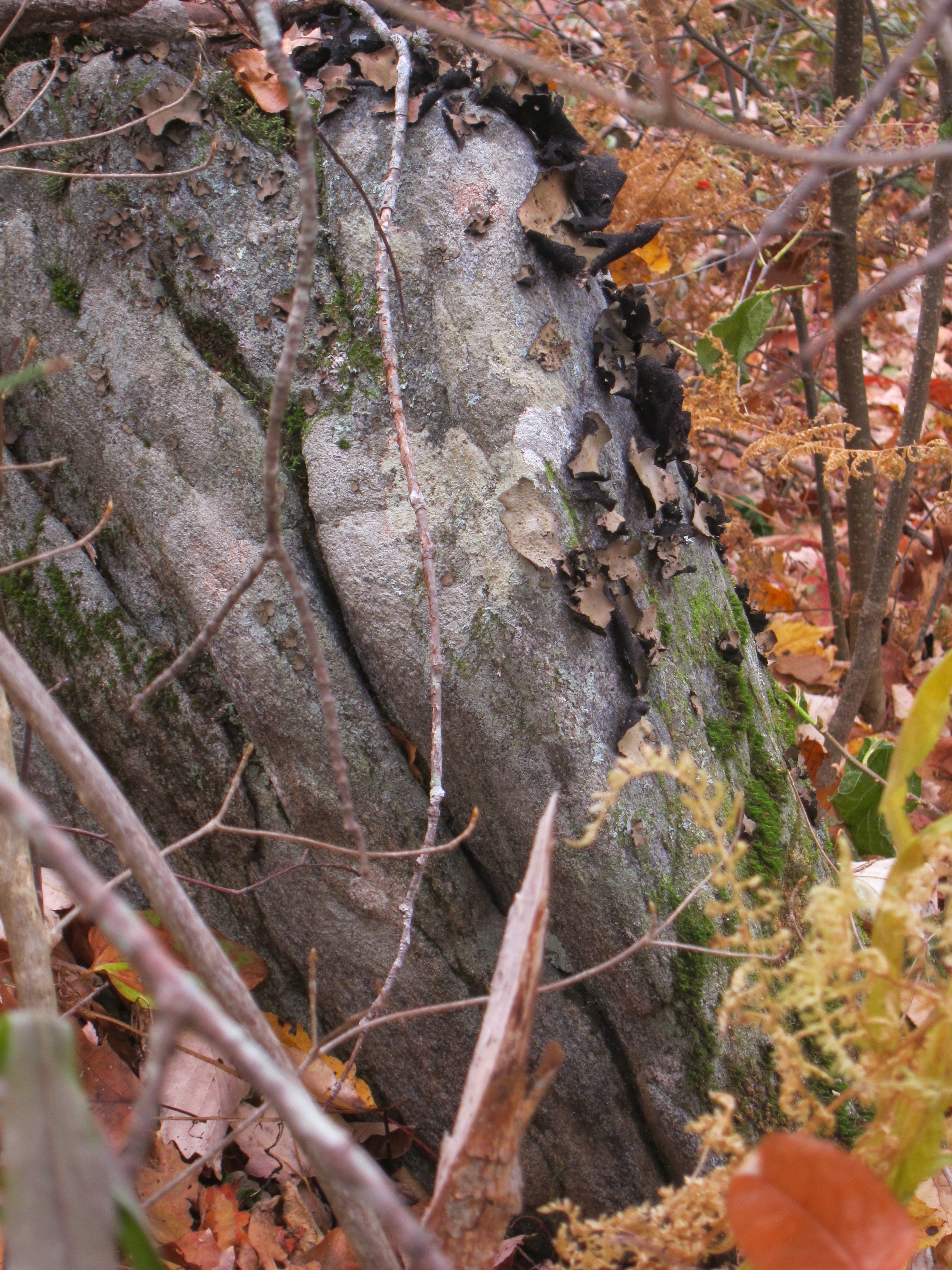
Our leader also pointed out this unusual "art work" of nature along the trail, that resemble hiking boots!


The group photo of all of us was taken by Bev Richardson, who along with her husband, Rod, had the role of "Host Couple" for our Road Scholar program. They are pictured below, with birthday cake, as we got to celebrate Rod's birthday during our week at the Hinton Center.
.jpg)
Appalachian Trail guidelines recommend no more than ten people to a group, so each day, we split into two groups of ten each. This photo shows one of the groups of ten, that I was with on the first day.

When you are hiking the Appalachian Trail, it is POSSIBLE that there will be a sign as you enter the trail. However, don't count on it!
 Some of the trails show a sign on a post at the trail head, with AT standing for Appalachian Trail, and N, standing for North. That is what I am pointing to, in the photo below:

 The shelter had an elevated area in the back, (presumably for placing a sleeping bag), a sitting bench, a counter-height bench, a roof, and a concrete floor.

For the most part, The A.T. trail is marked by white rectangular metal "blazes", nailed to a tree. The blue blazes could indicate a side trail to a shelter for overnight use:

I used my Fit Bit to record the steps I took each day, and every day was a new personal record for me! The most steps per day I ever logged was 28,143. I was feeling really proud of myself, UNTIL I came across this figure, as I was researching information for this blog: "It takes roughly 5 MILLION steps to hike the entire Appalachian Trail"!! Those numbers reminded me of the verse in the Psalms that talks about "steps". Psalm 37:23 says, "The LORD makes firm the steps of the one who delights in Him." I was delighted I was able to complete the number of A.T. steps that I did, even though they are a LOOOOOOOOONG way from five million! Making it to four separate summits, on the four days of A.T. hiking, means four photos of me with hands uplifted to God, in gratitude for being able to take the steps needed to make the summit!

.jpg)
To find out more about the Appalachian Trail, check out the website for the Appalachian Trail Conservancy (www.appalachiantrail.org) and the National Park Service ( www.nps.gov).
I am thankful for every step I was able to take on the Appalachian Trail for this program, and it gave me "MILES OF SMILES"!! Tricia


 Since the island is 14 miles long (and about one mile wide), there is plenty of room to spread out.
  Seeing this man looking for treasure with a metal detector, may account for why one of the communities on Anastasia Island is called "Treasure Beach". The other communities are St. Augustine Beach, Coquina Gables, Butler Beach, and Crescent Beach.
  The contingent of five birds, flying in formation, is a common sight to see, as Anastasia Island is located on the Atlantic Flyway for Migratory Birds. Anastasia State Park is also a stop along the Great Florida Birding and Wildlife Trail. The state park also contains hiking trails, camp sites, restrooms, and paddlesport rentals. One may call 904-461-2033 for the most up to date information on this premier Florida State Park.
  This photo shows the St. John's County Ocean Pier on Anastasia Island. The orange sphere in the middle of the photo is actually the sun, but it provides an opportunity to tell the reader that a different kind of "orange sphere" played a significant part in the history of Anastasia Island. That is because the island was part of a 10,000 acre land grant from the Spanish crown to Jessie Fish, who established a plantation "El Vergel", which means "The Orchard". Mr. Fish planted orange groves on the property, which produced fruit known as far away as London, for its juiciness and sweetness. His production increased annually until 1776, when he shipped a total of 65,000 oranges from Florida. I was amazed to learn that Florida's fame for growing oranges went so far back!
 There is a small fee to walk out onto the pier, and it is a popular gathering place for both locals and tourists. Once you have paid the fee, you have access to a covered pavilion, showers, restrooms, fishing, and sightseeing.
  One can walk under the pier for no fee, and it is a serene spot to sit and meditate in the morning, with a cup of coffee, as you watch the sunrise. I am using this photo of a lady I saw "being watchful" as the visual aid for one of my First Place 4 Health ( www.FirstPlace4Health.com ) memory verses that says, "Devote yourselves to prayer, being watchful and thankful." Colossians 4:2 You may be sure, I was also praying, and giving thanks to God, for the opportunity to be enjoying this beautiful location!
 I was also thankful that I was able to be enjoying this trip to Florida, with my hiking friend, Diane, shown here as we give the "V" for victory salute, on our beach hike.
  This photo shows Diane and I with a new friend from Chicago that we met, during our week of participation in a Road Scholar program ( www.RoadScholar.org ) in St. Augustine. As you can see from the expanse of beach behind us, this is a great area for not only walking on the beach, but also running, beachcombing, and shelling. I am holding a green plastic bag full of shells. I like to collect the empty shells that have a small hole in them, so I can hang them on my "souvenir fish net" at home, after I have written the date and location where I found it, on the shell.
 The beach is also used early in the morning for yoga. This orange cone was the marker that the yoga leader used to tell her class where they were supposed to gather, in order to "salute the sun" that morning!
 This photo shows the beach side of the hotel where our Road Scholar group spent the week. It was a treat to be able to have beach access right outside our door.
 Just as many ancient structures were designed to have special designs that would allow a beam of sunshine to go through a specific opening during the equinox, so the pier at Anastasia Island points east, so that one can position themselves at sunrise, to catch it beaming down the row of columns supporting the pier.
  This visit to Anastasia Island provided me "MILES OF SMILES", strolling another beautiful beach, in God's Great Outdoors!
 This photo
 The experience was part of Road Scholar program (
  The passage way under the bridge makes a turn to the left near the end, which leads out to steps that will take the walker up to the entrance of the pedestrian walkway of the Golden Gate Bridge. All these measures are necessary because pedestrians are only permitted to walk on ONE side of the bridge---not both.
 I took this photo to show the extensive labyrinth of steel girders that forms the support for the base of the bridge, while it is still passing over land.
 Most readers will recognize this as Alcatraz Island, which was once the home of notorious prisoners. It is now visited by thousands of people who are NOT prisoners, but rather taking a tour of the facility through the National Park Service.
  As the walker gets closer to the San Francisco side, they will be able to recognize the familiar sight of the Coit Tower, which is located atop one of San Francisco's famous hills.
 I took this photo to give the reader a sense of how close the pedestrians are to the car traffic. We were given strict instructions to stay as close to the railing as possible on the left side of the walkway, leaving the rest of the enclosure for the use of bicyclists. Don also reminded us to NOT mindlessly step out of line to take a photo, or we might get an unexpected bump from a bicycler pedaling up from behind us. We were told to look BOTH ways, before stepping to the right to take a photo. Since Don has been leading these programs quite some time, I can only assume he was speaking from experience from a previous program!
 This is a photo of one of the areas of the pedestrian walkway that expands a bit, to facilitate folks stopping to get a closer look at their surroundings, regroup, take photos, etc.; in the photo you can see the red rectangle hanging on the front of Don's jacket. That is the sound transmitter that he used throughout our trek, so that he could be talking to us as we walked across, and we could hear him, in spite of the deafening noise of traffic beside us. Each of the Road Scholar participants had a listening device in our ear, that made this possible.
  We made our trip across the bay on a weekday, and saw a few pleasure boats, such as this sailboat, taking advantage of a very windy day!
 When we reached the San Francisco side of the bridge, Don led us through a plaza that had a metal replica of the bridge we had just walked across. The visual aid helped us understand the physics principles, that made this historic structure such an engineering marvel. Likewise, there were explanatory placards scattered all around the plaza that interpreted views that could be seen from various locations, and told interesting facets of the bridge's construction. The plaza also had food and beverage concessions, gift kiosks, and restrooms.
  Bicycling across the bridge is very popular, and bikes are available for rent near the pedestrian entrances. Because there are no license or skill requirements necessary to rent a bicycle, it is another reason our leader told us to be on the constant lookout for an inexperienced bicycler, as we were traversing the walkway.
  Notice the large orange backpack Don is wearing? In case one is wondering why that is necessary, it is because he is a very prepared, and organized leader. It had extra batteries and listening devices, in case one of his participants needed it mid-hike. Likewise, he carried first aid supplies, and participant's emergency contact information
  This photo shows that we had an absolutely beautiful, sunshiny day to walk across the bridge, without a cloud in the sky!
 This view is seen from the pedestrian walkway, and would be puzzling for the uninformed. However, Don told us that the orange "arms" extending out over the water were to be the supports for a "suicide prevention net" that was currently under construction, on the bridge. It is said that the Golden Gate Bridge is a "suicide magnet" for some, and that about 500 people have jumped to their death since the bridge opened in 1937. Statistics say that 40 known people jumped to their death in 2016. The Bridge administration is spending $200 million to change that, as it works to get the suicide prevention net completed by 2021. It will extend over 1.5 miles of open water, and will be made of stainless steel mesh, located about 2o feet below the bridge, and stick out 20 feet from the edge of the bridge. A jumper could still crawl to the edge of the net to jump off again, although designers predict that the fall from the bridge surface to the net would incapacitate the person, allowing rescuers to retrieve them.
 There are commercial tourist boats that take visitors out on the waters, and cruise them beneath the bridge. I was able to take one of those sightseeing cruises on past visits, and gave a big wave to the tourists I saw below in this boat, who were also waving up at me!
 Besides tourist boats, there are plenty of commercial vessels, such as this container ship, that use the shipping lanes of the San Francisco Bay.
 Once we had walked across the bridge in the afternoon, visited the San Francisco plaza side, and made our way back to the tunnel that would lead us to the Road Scholar van in the parking lot, we had completed four miles of bridge walking. Hurrah! I got my 10,000 steps in that day, since we had already walked four miles on the Marin hiking trails in the morning!
 It has been said that the Golden Gate Bridge is the most photographed man-made structure in the world, and I know I certainly took more than my share of those photos during the week I visited the area! Seeing how the bridge provides a means to connect that which is separated, is a visual aid for me, reminding me of how Jesus is also a "bridge" to separate that which is separated. We as a people have become separated from a righteous God because of our sins. But Jesus came to take the penalty for our sins---to be the living sacrifice---that could form a "bridge" so that we could once again have fellowship with our Creator. The bridge Jesus provided is there for EVERYONE, but some will choose not to use the bridge that has been provided for us. Though this Road Scholar program, I made the choice to walk across the Golden Gate Bridge. Likewise, knowing that I have also made the choice to walk across the "Golden Grace Bridge" of salvation, that Jesus has provided, gives me MILES OF SMILES! Tricia